
Property Details
Name: Wheat Basin Road
City: Molt
County: Stillwater
Zip Code: 59057
Price: $197,000
State / Province: Montana
Acreage: 9 Acres
Country: United States of America
Parcel ID (APN): 0000050030
Taxes
Tax Year: 2023
Annual Taxes: $243
Description
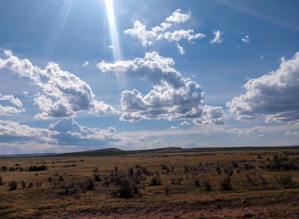
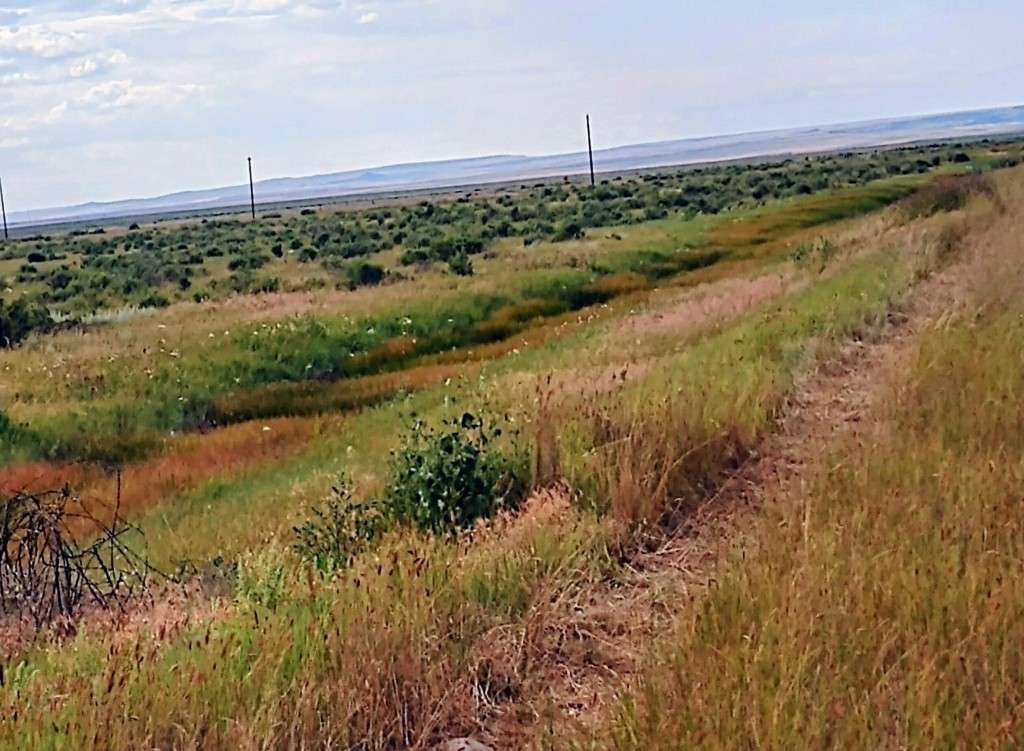
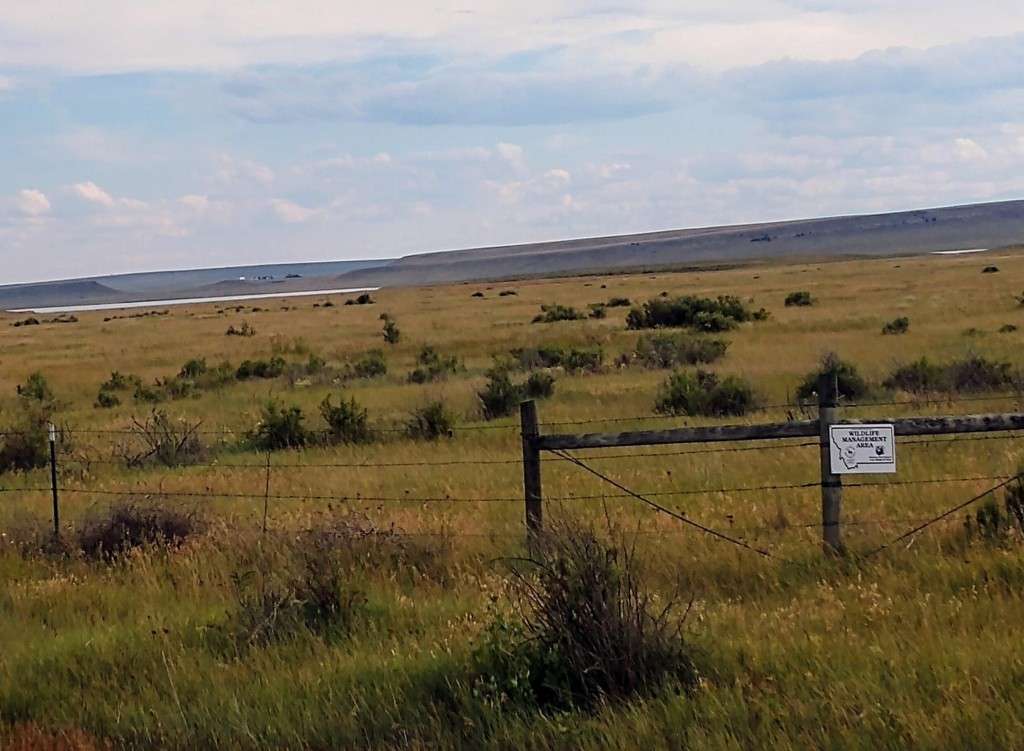
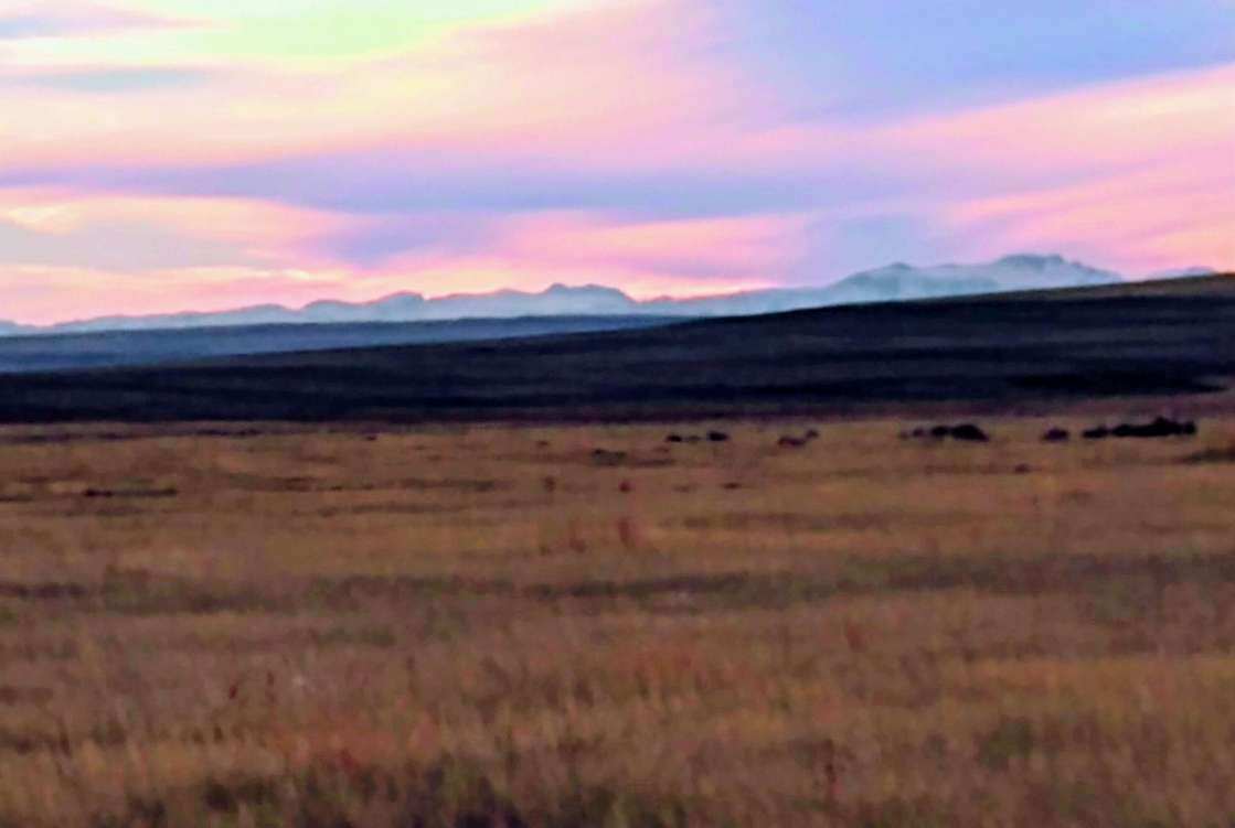
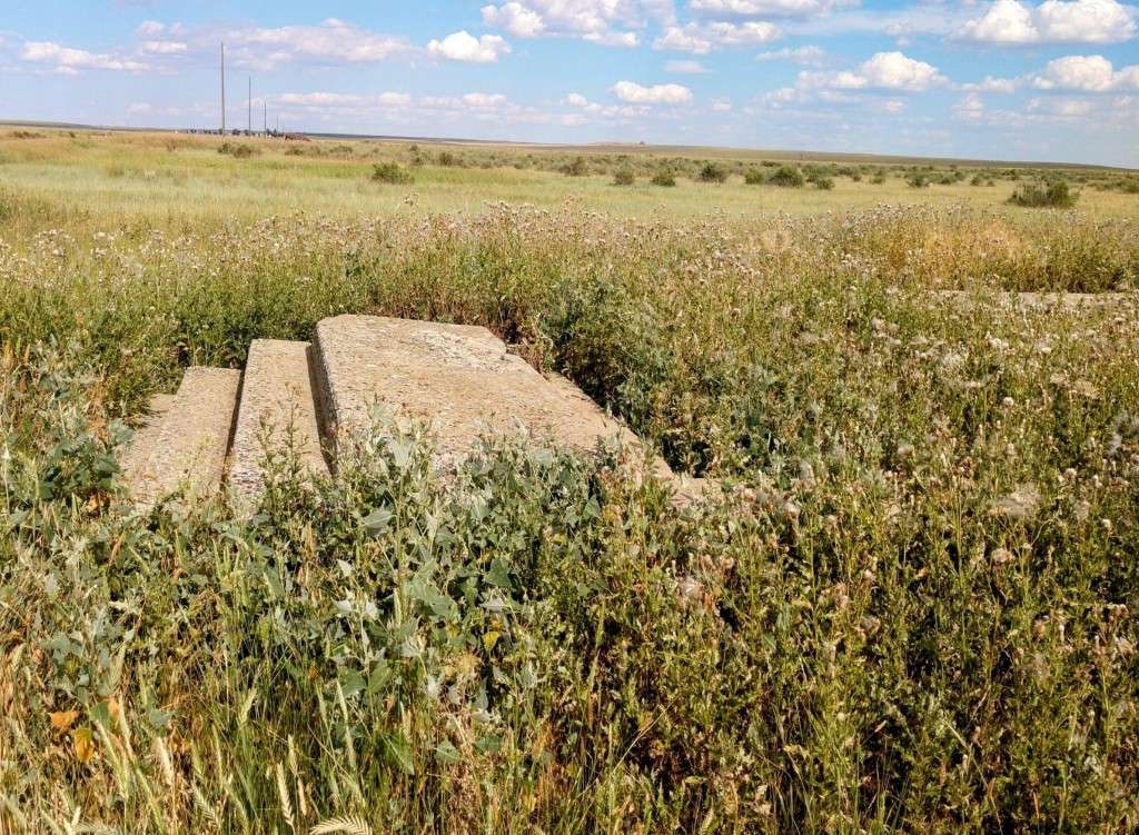
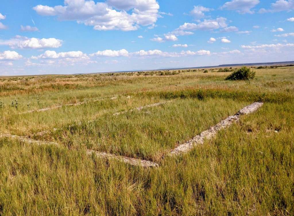
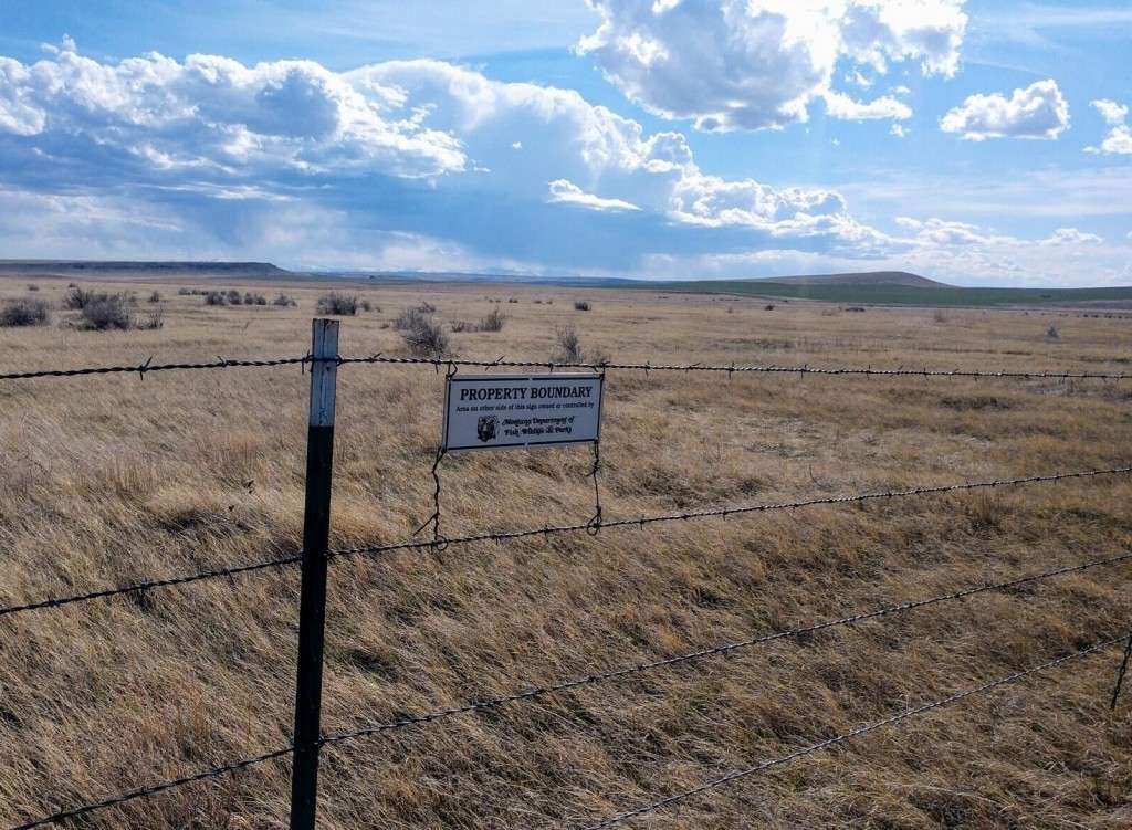
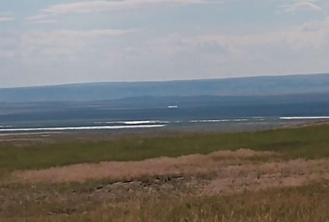
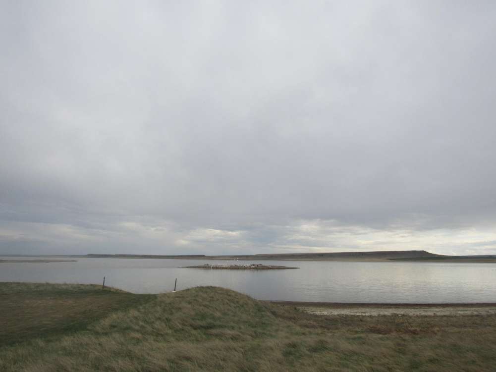
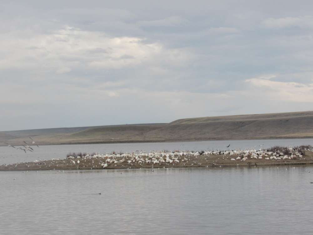
Step into a landscape where history, freedom, and wide-open prairie converge. This exceptional offering includes 129 subdivided lots within an original Montana ghost town--an untouched frontier setting with no covenants or restrictions, giving you complete freedom to shape your vision. Whether you imagine an RV oasis, a tiny-home community, future residential development, or a private off-grid retreat, the possibilities are wide open. Bordering WMA, the land delivers protected habitat, sweeping views, abundant wildlife, and unmatched outdoor recreation right outside your door. It's the kind of place where waterfowl rise at sunrise, and quiet becomes a daily luxury. A 2-acre park area within the townsite provides a green space anchoring the property and hints at the once thriving community
Despite the serenity, you're never far from convenience. The property sits within easy reach of Billings International Airport and the services of Columbus, offering the perfect balance of privacy and access to shopping, dining, healthcare, and travel.
This is more than land.
It's an investment in freedom, history, and possibility--the best of both worlds in the heart of Montana.
Directions to Property
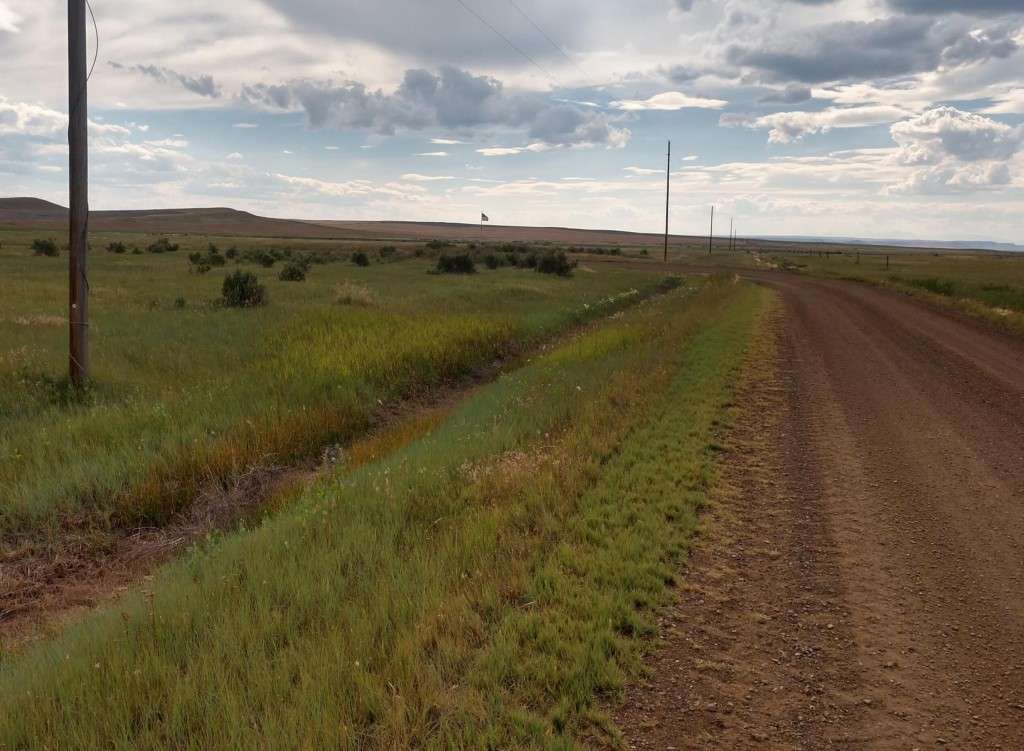
Directions from Billings: Rimrock Road to Molt, 22 miles, continue west on Molt/Rapelje Road till sign on right "Wheat Basin". Clearwater sign on the left on Molt/Rapelje Road and also another on Wheat Basin Road. From Rapelje: Molt/Rapelje Road till curve that intersects with Wheat Basin Road. (about 13 miles). Power poles/lines along Molt/Rapelje Road. There is a Clearwater sign on Molt /Rapelje Road and Wheat Basin Road.
Documents

Contact us for more information on this property


